Ocean going crews have long used various math tools on voyages out on the high seas. Strategies that were once very popular included, dead reckoning, great-circle navigation, and celestial navigation, for sure, however, GPS is what guides ships these days. But even the most sophisticated and automated GPS, satellite, sonar, radar, and geo-tracking systems — rely heavily on math. Those technological advancements rely entirely on mathematical computations being endlessly recalculated.
But how did sailors find their way before GPS? Let’s take a look at navigational tools and techniques devised by mathematic ingenuity, that spanned for millennia.
BEARING TRIANGULATION
Triangulation was actually the predecessor to and the inspiration for the development of GPS satellite design. It has been a long-standing practice among sailors to map their location at sea by taking measurements from three distant points and calculating their position, as it relates to these points, within the triangle.
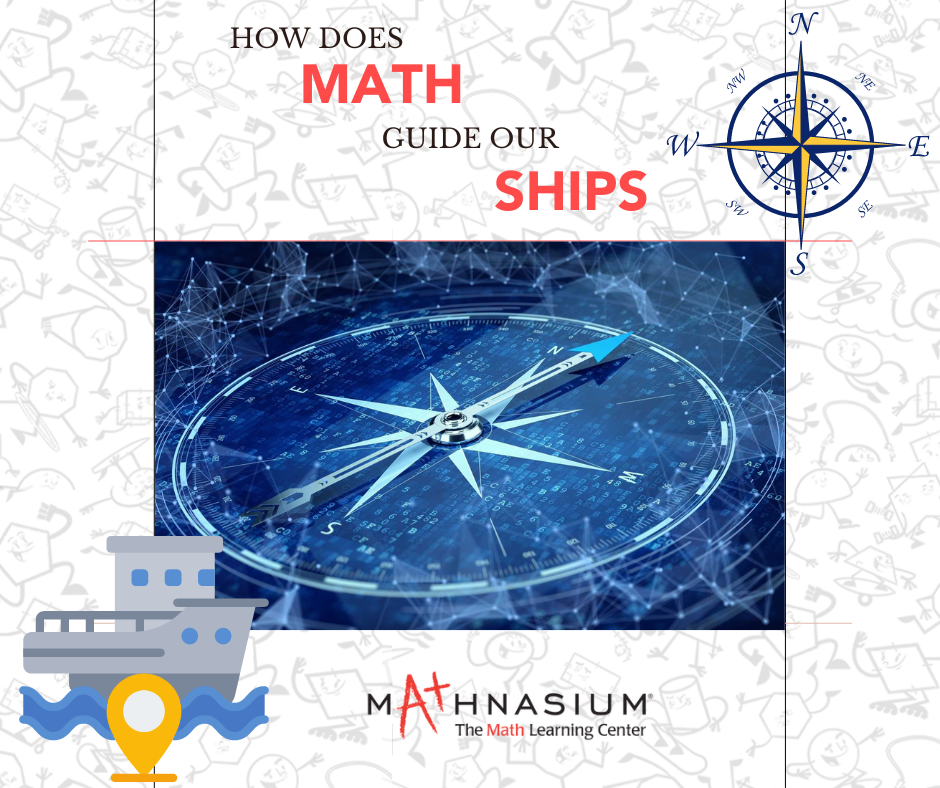
MAGNETIC COMPASS
The Magnetic compass was invented around 100 B.C. in China and allowed ships to sail over the horizon without getting lost. It has a “travel arrow” that points in the direction you intend to go. A floating metal needle always aligns with the magnetic north pole of the Earth. This type of compass finally found its way to the Mediterranean region of Europe in the late 1200s. Compass Deviation Analysis allows sailors to adjust measurements to stay on course.
CELESTIAL NAVIGATION
Polynesians sailing as early as 1200 B.C. were the first to navigate the open ocean––and the first to use celestial navigation. The sailors developed a precise system for calculating star positions. They also navigated by observing and calculating ocean currents and swells, wind and cloud patterns, as well as the rise and fall of the sun. All of these calculable positions and metrics made sailing on the open seas possible.
SUN COMPASS
The Vikings were medieval master shipbuilders who sailed across the North Atlantic between 900 and 1200 A.D. to oversee their colonies in Iceland and Greenland. They used a highly accurate sundial-like instrument called a sun compass to guide their voyages. The sun compass allowed these warrior sailors to accurately calculate times and positioning.
DEAD RECKONING
Columbus used this method of calculating a ship's position at sea when he sailed from Spain in 1492. Instead of relying on celestial bodies for navigation, dead reckoning relies on time, direction, distance, and velocity. These calculations needed to be adjusted regularly to ensure that the projected course was maintained.
THE SEXTANT
Invented by a British mathematician named Jesse Ramsden in 1730, the sextant revolutionized celestial navigation in Europe. In the past, mariners used this device to measure the angles of the sun, moon, and horizon. They could then determine latitude. Calculating longitude was more difficult. That required being able to tell time at sea accurately and in order to do that, one needed to calculate the sun's position.
TIME TELLING AND LONGITUDE
In the 17th century, a Dutch mathematician named Christiaan Huygens invented the first pendulum clock in 1656. On land, pendulum clocks could keep accurate time, but not on a heaving ship. Another hundred years would pass before great mathematicians solved this problem and until they did, sailors relied on more basic strategies to calculate the sun's position and the time of day.
MARINE CHRONOMETERS
John Harrison, an English watchmaker, invented the marine chronometer in 1761. As a result, sailors could now determine longitude with the help of this precision clock on a boat. They could do this by calculating the difference between the time on their ship and the time at a fixed land position. To determine longitude and measure time, navigators use spherical trigonometry.
We see math strategies and advancements in everything we do. And while few of us are sailors out on the open seas, we can still marvel at the true wonderment of how much of a role mathematics plays in everything from mapping out a fishing trip on your GPS to shipping billions of dollars in goods across on a fleet of TransAtlantic tankers.